Landslide Guideline
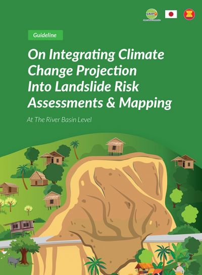
Guideline on Integrating Climate Change Projection Into Landslide Risk Assessments & Mapping
Summary
Many ASEAN Member States are experiencing increased landslide risk due to climate change and high human population and activity near fragile high exposure areas. Appropriate mitigation measures suffer from inadequate hydro-meteorological observation (rainfall, temperature, water level) information due to lack of adequate monitoring and measuring instruments and limited institutional and human resources capacity to install enough monitoring stations. Landslides are localized in nature. Addressing them involves a complex mix of physical, social and cultural factors. Building a disaster resilient ASEAN community may require a significant overhaul of existing disaster risk management systems.
The main objective of these guidelines is to assist AMS conduct landslide risk assessments and mapping by integrating climate change impacts at the river basin level. They are therefore different from other guidelines that reference historical trends and cover regular landslide events. These guidelines are intended to be applied at the river basin level for integrated landslide risk management and planning. The technical report showcases the application of the methodologies described in the guidelines developed as part of the project. They will be useful to:
- Identify landslide risks and associated vulnerabilities due to extreme hydrological events and future climate impacts
- Conduct climate change impacts assessment and development of realistic scenarios using landslide susceptibility assessment and mapping methods and spatial tools.
- Conduct vulnerability and damage assessment and identify new vulnerabilities.
- Conduct landslide risk assessment and mapping under different climate change scenarios
- Map and zone landslide susceptibility and map hazards for landslide prone areas.
- Carry out risk planning through adoption of integrated landslide risk management.
- Conduct community-based landslide risk management and planning.
Appendix 1: Technical Reports
Taunggyi Case Study
Phoukhoun Case Study
Appendix 2: Technical Manual on using QGIS
QGIS Technical Manual, Taunggyi
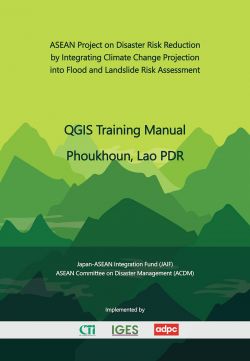
QGIS Technical Manual, Phoukhoun
ASEAN DRR-CCA
ASEAN Project on Disaster Risk Reduction by Integrating Climate Change Projection into Flood and Landslide Risk Assessment (ASEAN DRR-CCA) is supported by the Government of Japan through the Japan-ASEAN Integration Fund (JAIF).
604 SG Tower 6F 161/1 Soi Mahadlek Luang 3, Rajdamri Road, Patumwan, Bangkok, Thailand
-
This email address is being protected from spambots. You need JavaScript enabled to view it.
Mon - Fri
9:00 - 6:00 pm
